Wuhan Geosun Navigation Technology Co., Ltd.

Wuhan Geosun Navigation Technology Co., Ltd.
🇨🇳 China, Hubei
201551-100 peopleManufacturer/Trading Company/Distributor/Wholesaler/Service CompanyWuhan Geosun Navigation Technology Co., Ltd., established in 2015 and based in Wuhan, China, is a National High-tech Enterprise specializing in the research, development, and manufacturing of high-precision positioning and perception systems. With over 20 years of technical expertise, the company focuses on multi-sensor fusion technologies, integrating GNSS, Inertial Navigation (INS), Visual Positioning (VL), LiDAR, and SLAM. As a comprehensive manufacturer and service provider, Geosun offers OEM and contract manufacturing capabilities, supported by a professional design team and an advanced machinery workshop.
The company's extensive product portfolio includes mobile LiDAR scanning systems (UAV, handheld, and backpack), road real-scene information acquisition systems, and multi-sensor integrated positioning and attitude determination systems. Notable hardware includes the gAirHawk series for UAV mapping and the GS-series handheld SLAM systems designed for high-precision 3D mapping in GNSS-denied environments. These hardware solutions are complemented by a proprietary software suite, including Shuttle for trajectory calculation, Point Cloud Creator for pre-processing, and GNSS Explorer for post-processing.
Geosun maintains rigorous quality standards with ISO 9001, ISO 14001, and ISO 45001 certifications, and its products carry CE and RoHS marks. Holding over 70 patents and software copyrights, the company serves a diverse range of industries such as autonomous driving, power line inspection, forestry, and mine surveying. With a global service network, Geosun exports its solutions to more than 100 countries and regions, providing end-to-end technical support and training for international clients.
OEM manufacturerOffers OEM services for customized brand manufacturing.
Product customizationOffers full customization for design and features.
Patented technologyHolds multiple product or process patents.
Industry association memberMember of IEEE, China Global Satellite Navigation Application Association association.
Contact
*********************
2
**************
2
Products
Products
0
Categories
0
GS-260X
0·0 reviews
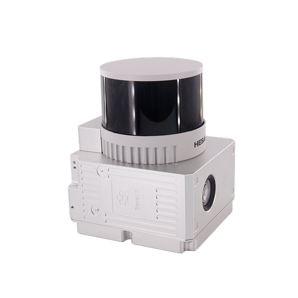
GS-260X拥有最大300m的测程,产品重量仅1.1kg,最大化提高作业时长,最大激光点频1920000pts/s,三次回波,穿透性强,同时深度集成相机,点云、影像同步采集。GS-260X广泛应用于地形测绘、电力通道巡检、林业调查、数字城市等行业,让大范围数据采集得心应手。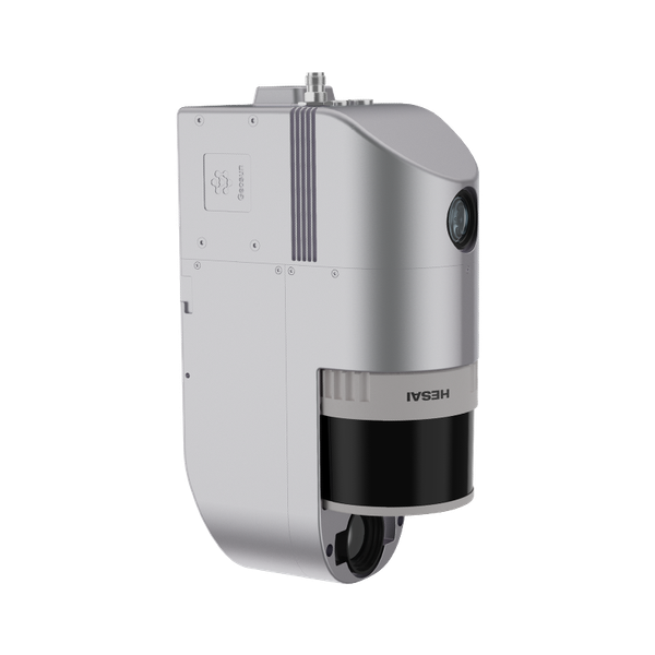
GS-260S
0·0 reviews
GS-260S是际上导航自主研发的高光谱激光雷达扫描系统。它结合高光谱相机与激光雷达的优势,形成高度集成的一体化扫描系统。其中高光谱相机的成像数据可以通过遥感技术监测农作物病害、缺水或养分情况,激光雷达通过激光脉冲以极高精度测量距离,两者结合后,数据互补性大幅提升,作业效率可显著提高。
Bridge Surveying Mobile Mapping Solution HESAI Mechanical LiDAR Geosun gAirHawk Series GS-130X
0·0 reviews
Range: Short Range 70 - 100 M
Application: Smart City Construction
LiDAR Scanning System
0·0 reviews
20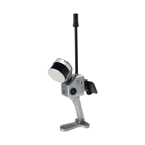
GS-122G
0·0 reviews
GS-122G是际上导航推出的手持激光雷达扫描系统。该系统具有操作便捷、安装灵活和支持多平台多模式作业等特点,内置高清测绘相机和RTK模块,支持GNSS伸缩天线,RTK-SLAM / PPK-SLAM室内外无缝建图与定位等。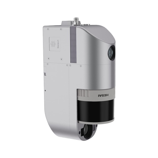
GS-260S
0·0 reviews
GS-260S是际上导航自主研发的高光谱激光雷达扫描系统。它结合高光谱相机与激光雷达的优势,形成高度集成的一体化扫描系统。其中高光谱相机的成像数据可以通过遥感技术监测农作物病害、缺水或养分情况,激光雷达通过激光脉冲以极高精度测量距离,两者结合后,数据互补性大幅提升,作业效率可显著提高。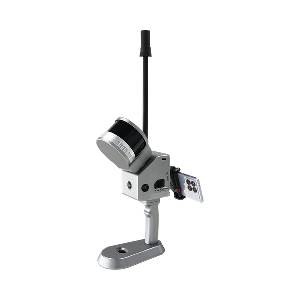
GS-120G
0·0 reviews
GS-120G是际上导航推出的手持激光雷达扫描系统。该系统具有操作便捷、安装灵活和支持多平台多模式作业等特点。内置高清测绘相机和RTK模块,支持GNSS伸缩天线,RTK-SLAM / PPK-SLAM室内外无缝建图与定位。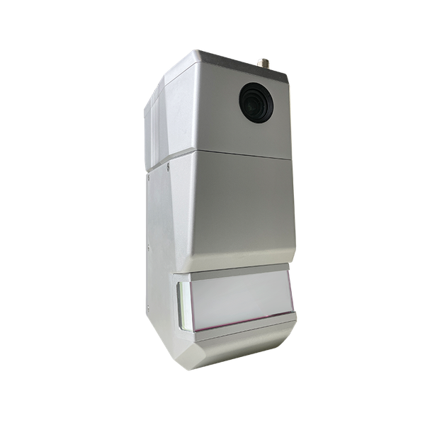
GS-1500N
0·0 reviews
GS-1500N激光雷达是际上导航自主研发的激光测量系统,集成了激光扫描器、GNSS卫星定位、INS惯性导航系统等功能模块,重量仅2.5kg,满足市面上主流无人机的适配,可快速获取高精度激光点云数据,具有应用简单、集成度高、性价比高等特点,广泛应用于测绘、国土、电力、林业、水利、交通等行业领域。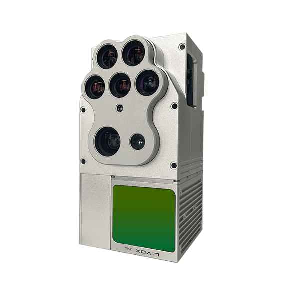
GS-100E
0·0 reviews
GS-122G
0·0 reviews
GS-122G是际上导航推出的手持激光雷达扫描系统。该系统具有操作便捷、安装灵活和支持多平台多模式作业等特点,内置高清测绘相机和RTK模块,支持GNSS伸缩天线,RTK-SLAM / PPK-SLAM室内外无缝建图与定位等。Trajectory Processing Software
0·0 reviews
4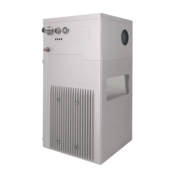
GS-2000N
0·0 reviews
GS-2000N is a kind of long range, compact LiDAR point cloud data acquisition system, integrated FT-1500H long range laser scanner, GNSS and IMU positioning and attitude determination system, and storage control unit, is able to real-time, dCustomers
ISA MEGATECH
**********************
**********
****************
*******
Unlock all 10 customers
Certifications
 RoHS
2
 CE
3
 ISO 9001
2
 ISO 14001
1
 ISO 45001
1
Ask AI about this supplier
Key export market
Shipments
Shipments count
0
Export volume
0 kg
Export countries
0
Customers
0
Insights
Top 5 customers
Reflecting the depth of cooperation between supplier and customersTop 5 customers
This insight is only available in the Pro planTop 5 export countries
Reflecting the supplier's export experience in target countriesTop 5 export countries
This insight is only available in the Pro planShipment count distribution
Reflecting the supplier's market business activityAll categories
Shipment count distribution
This insight is only available in the Pro planExport weight distribution (kg)
Reflecting the supplier's export scaleAll categories
Export weight distribution (kg)
This insight is only available in the Pro planExport weight trend (kg)
Reflecting the growth rate of the supplier's phased total supply volume and the fluctuation of supply volume, identifying supply peaks and troughsAll categories
Export weight trend (kg)
This insight is only available in the Pro planCIF trend (USD)
For identifying high-value cooperation periods and single order value changesAll categories
CIF trend (USD)
This insight is only available in the Pro planSimilar suppliers you may like
Wuhan Survey Technology Co., Ltd.
🇨🇳 China
202011-50 peopleManufacturer/Trading CompanyLow MOQ
Shipments
120
Key customer
EASY SURVEY SOLUTIONS
Key market
🇮🇳 India
Description
Wuhan Survey Technology Co., Ltd., established in 2020 and headquartered in Wuhan, China, is a manufacturer and trading company specializing in GNSS technology. The company focuses on competitive and reliable GNSS RTK receivers, GIS Data Collectors, and advanced GNSS reference stations for VRS/CORS. With 11 to 50 employees, they offer a range of surveying instruments including GNSS Laser RTK Receiver, Dual-Camera GNSS RTK Receiver, IMU RTK, and Total Station. Wuhan Survey Technology operates a factory and has a global presence with distributors in over 30 countries, exporting products primarily under HS code 901580900000.
Gnss Laser+Ar Rtk Receiver
Gnss Rtk Receiver
Gnss Laser Rtk Receiver
Imu Ar Gnss Receiver

Total Station
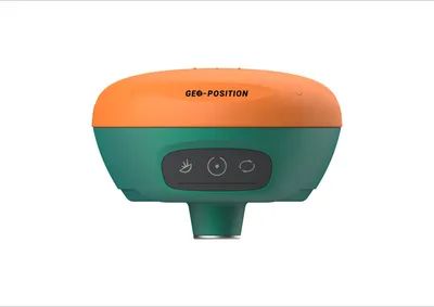
Imu Rtk
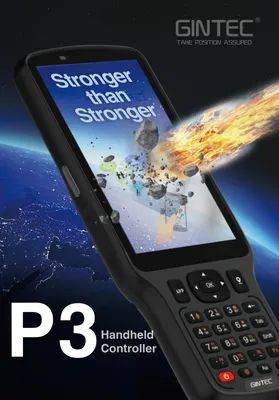
Data Collector
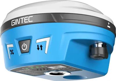
Dual-Camera Gnss Rtk Receiver

Hunan Bynav Technology Co., Ltd
🇨🇳 China
2019Fewer than 5 peopleManufacturer/Trading CompanyLow MOQ
Own brand
OEM manufacturer
ODM manufacturer
Shipments
23
Key customer
ADDVERB
Key market
North America
Description
Hunan Bynav Technology Co., Ltd, founded in 2019 in Changsha, China, is an ISO 9001 certified manufacturer and trading company specializing in high-precision GNSS/INS positioning solutions. With a focus on in-house development, the company offers a comprehensive range of products including GNSS high-precision positioning ICs (such as the Alice GNSS SoC and Alita GNSS Baseband ASIC), GNSS/INS high-precision positioning modules/boards (like the M20/M21/22 series and various OEM receiver boards), and GNSS/INS combined navigation boxes (including the X36D and T1/T2 series). They provide OEM and ODM services, developing chips and algorithms optimized for reliable continuous centimeter-level real-time positioning, particularly in challenging environments and for vehicle applications. Their products are utilized across diverse sectors such as automotive (autonomous driving, ADAS, V2X), industrial (UAV, precision agriculture, robotics, surveying), and transportation. Hunan Bynav Technology Co., Ltd serves a global market, exporting to North America, South America, Europe, Asia, Africa, and Oceania, with notable customers including BOSCH, GWM, and Tencent Map.
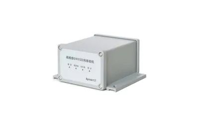
Bynav By682 High Precision Gnss Receiver Multi-Frequency Multi-System Rtk
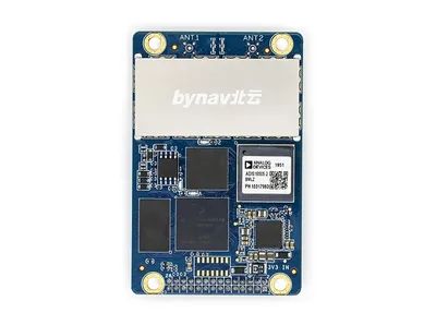
Bynav A1-3h Full System Gnss Rtk Imu-Enchanced Gnss OEM Receiver Board
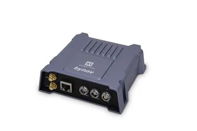
Gnss/Ins Integrated Navigation Gnss with Imu Aided Navigation--Bynav X1
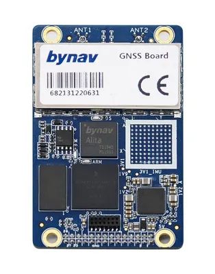
Bynav C1-8s Cost-Affordable Drone Uav High Precision Rtk GPS OEM Receiver Gnss Board
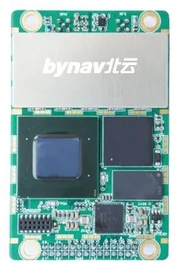
Bynav By682 High Precision Positioning Gnss Board OEM Board Rtk
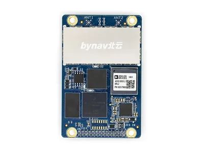
Bynav A1-3L Low Frequency Imu-Enhanced Gnss/Ins OEM Receiver for Robotics
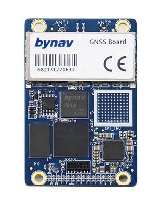
Bynav C1 Gnss Asic Gnss OEM Receiver Board GPS Rtk


